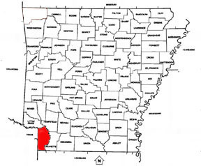
COUNTY ORGANIZED: Miller County was
originally created in 1820 and included most of the current Miller
County as well as most of what are now counties in Texas: Bowie, Red
River, Lamar, Fannin, Cass, Morris, Titus, Franklin, Hopkins, Delta, and
Hunt. In 1831 the county seat was located what is the current day
Clarksville, Texas. When Arkansas achieved statehood the same year Texas
declared itself an independent republic in 1836 a dispute over the
common border arose, with the area in Miller County having
representation in both the Arkansas legislature and the Texas congress.
In 1837 and 1838, Texas organized Red River and Fannin counties,
respectively, in the area. Arkansas attempted to counter by making it a
misdemeanor for Miller County residents to hold office in Texas, and
then by establishing a county court in Fannin. The attempts were
ultimately unsuccessful, and in 1845 Texas was annexed by the United
States, settling the boundary between Texas and Arkansas. As much of
Miller County was lost to Texas, the county was dissolved with the
remaining territory returning to Lafayette County.
The modern Miller County was re-created in 1874 from
the parts of Lafayette County lying west and south of the Red River.
COUNTY NAMED FOR:
James Miller, the first governor of the Arkansas Territory
COUNTY SEAT NAMED FOR: It
is not known who gave Texarkana its name. A popular story credits
Colonel Gus Knobel, who surveyed the Iron Mountain Railroad right-of-way
from Little Rock to this section to the state line. He allegedly painted
"TEX-ARK-ANA" on a plank and nailed it to a tree, saying, "This is the
name of a town which is to be built here."
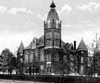
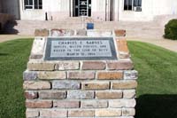
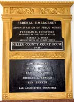
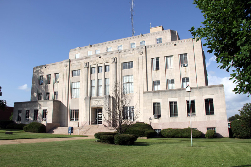
STANDING: 1939
Courthouse made of stone and concrete.
LOCATION: 400 Laurel St, Texarkana, AR 71854
|
